California's Sierra Nevada has no shortage of famous lakes, but the best-known ones — Tahoe especially — come with traffic, parking headaches and shoulder-to-shoulder shorelines. For hikers who want the same postcard views in peace, Charlotte Lake in Kings Canyon National Park is a strong case for going where the tour buses don't.
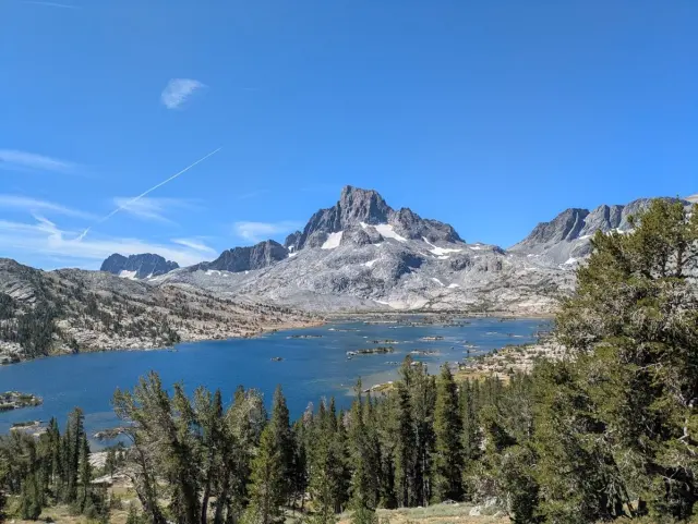
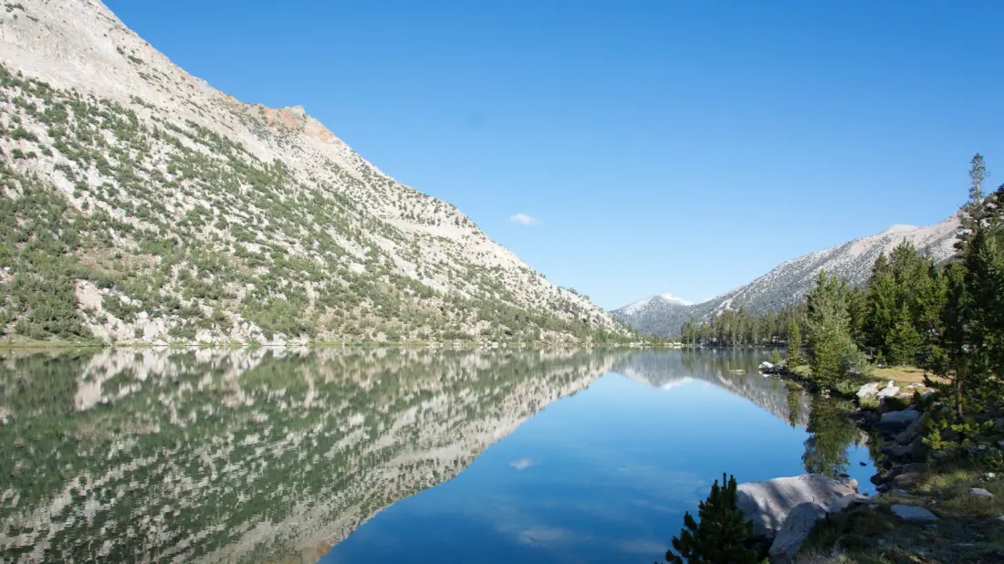
The lake itself is modest: roughly 30 acres, sitting at about 10,544 feet. What it lacks in size it makes up for in clarity — the water is famously transparent and reflects the surrounding granite peaks, including neighbouring Mount Bago, an 11,870-footer that looms over the shoreline. It sits near the eastern edge of Kings Canyon, the quieter sibling of Sequoia National Park, and close to the Inyo National Forest boundary, which means the approaches stitch together some of the best scenery in the entire Sierra.
The standard route is a 17-mile out-and-back from the Onion Valley Trailhead. You start in Inyo National Forest, climb over Kearsarge Pass, and drop into Kings Canyon's backcountry. The hard graft is front-loaded into the Onion Valley and pass sections; once you're over, the final stretch to the lake is comparatively gentle. The bonus is that the tough part is also the pretty part — the trail threads pine forest and passes Bullfrog Lake and the Kearsarge Lakes before you even reach the main event.
If 17 miles sounds like a warm-up rather than a hike, Charlotte Lake sits on the 211-mile John Muir Trail, so through-hikers pass right by. Overnight options are flexible too: the Onion Valley Campground near the trailhead has 29 sites for car campers, and backcountry camping is allowed around the lake itself. Two caveats there — stays are capped at two nights, and you'll likely need a wilderness permit from the national park.
Why bother swapping Tahoe for this? Simple: the views are comparable, the effort filters out the crowds, and Kings Canyon remains one of California's least-visited national parks despite having canyon walls, giant sequoias and alpine lakes on its résumé. It suits fit day-hikers after a big objective, backpackers linking Sierra trail networks, and anyone who'd rather hear wind than jet skis. Go prepared for altitude — the trailhead alone sits above 9,000 feet — and check permit requirements and road conditions before committing, since Onion Valley's access road is seasonal.