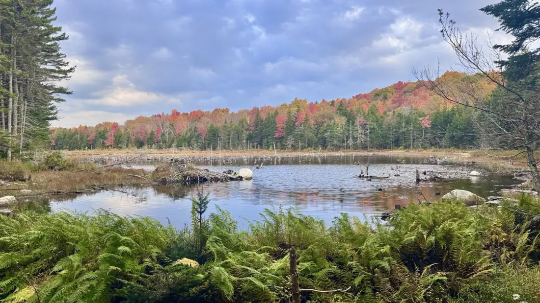
Sometimes the smartest move on a long-distance hike is the one that looks like a cop-out. In a recent trail diary from The Trek, a backpacker working through Vermont's stretch of the Appalachian Trail skipped a second climb up Stratton Mountain after the previous day's summit delivered nothing but cloud. Instead, they took the four-mile Stratton Pond trail — described by one commenter as "as flat as anything in Vermont" — and traded a viewpoint for a quieter route past beaver ponds and bog boards.
The day's route covered nearly 29 miles through the Green Mountain National Forest, starting near Kid Gore shelter and finishing at Route 11/30. Along the way: a sunrise attempt from the shelter viewpoint (mostly foiled by cloud), a one-hour out-and-back to bank some extra mileage, breakfast at Story Spring shelter with a pair of section-hikers, and a smooth road walk that runs alongside the AT and offers easy access to the Stratton Pond trail itself. A quick detour to the pond access path pays off here — the AT proper doesn't actually pass the water.
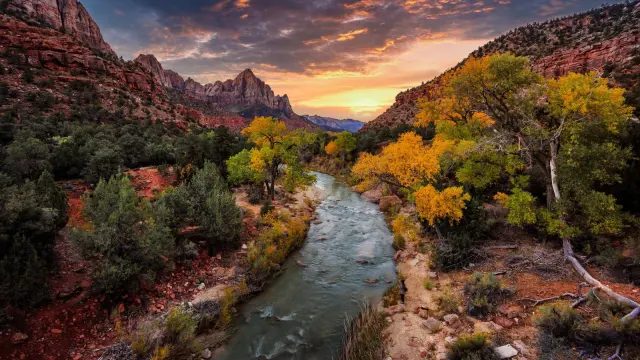
What makes the story worth reading is the season. Vermont's foliage was peaking, with greens giving way daily to yellow, orange and red, and the writer admits that hours on the trail through the turn of the seasons changed their mind about autumn entirely. It's a strong argument for planning a New England hike in late September or early October rather than summer: cooler air, fewer bugs, and the best colour show in the eastern US.
Vermont being Vermont, the weather had the final say. Rain arrived on schedule in the afternoon, the wooden bog boards over the wet sections turned slick, and a mile out from the road the writer's foot sank into a hidden pocket of mud — one soaked shoe as the toll. The trail delivered one small consolation anyway: a note on a bridge over the Winhall River marking the three-quarters point of the 2,190-mile route from Georgia to Maine.
For anyone eyeing this section, the practical details are useful. The Stratton Pond trail makes a genuine shortcut past the mountain's summit when views are unlikely, and the adjacent road walk is easier on the ankles than the rooty singletrack. Resupply logic matters too — the writer drove south to Bennington for a Hannaford supermarket, only to find nowhere to sit and work, and contemplated a return to Rutland instead. Base yourself accordingly if you're threading a section hike around town logistics.
Who is this for? Thru-hikers and section-hikers plotting the AT through southern Vermont, weekend backpackers wanting a taste of the Long Trail corridor without a full commitment, and leaf-peepers who'd rather earn their foliage on foot than from a car park. You won't find hotel lists or restaurant picks here — it's a trail-level look at what this stretch actually feels like in wet October conditions, mud included.