
Mainland Portugal is set for a soggy, blustery end to September, but holidaymakers worried by lurid headlines can relax: the country's weather service, IPMA, has firmly ruled out any 'bomb cyclone' hitting the country. The explosive low-pressure system forecast for Tuesday, September 29, will develop over the North Atlantic west of Ireland — hundreds of kilometres from Portugal. What Portugal gets instead is the indirect fallout: a trough and cold front dragging showers, thunderstorms and cooler air across the mainland.
The wet run starts on Monday, September 28, when showers and thunderstorms are expected, mainly in the afternoon and further inland, with some potentially accompanied by hail. Things ramp up from Tuesday afternoon into Wednesday as the cold front sweeps west to east. Northern and central regions face the risk of temporarily heavy rain, plus strong southerly winds — the European ECMWF model points to gusts of 50-70km/h along the western coast and higher ground, peaking near 75km/h in exposed spots like Alto Minho.
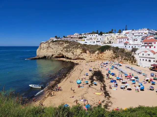
The south, thankfully, looks set to dodge much of it. Both IPMA and Meteored say significant rain is unlikely south of the Tagus, so Algarve-bound travellers should see mostly dry — if unsettled — conditions. Temperatures are dipping nationwide after recent warmth, though: expect highs of 20-26°C in the north and centre and 25-32°C in the south, with cooler nights and mornings between 13-19°C.
For anyone travelling this week, the practical takeaway is simple. Pack a light rain layer and windproof jacket, especially if you're heading to Porto, the Douro Valley, Minho or the central coast, where the worst weather is concentrated. Beach and boat excursions in the north look shaky midweek, while Algarve plans are far less likely to be washed out. It's a classic early-autumn pattern rather than anything dangerous — the dramatic cyclone everyone is talking about stays well out at sea.