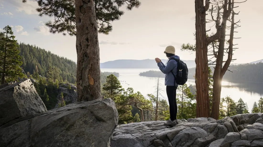
Lake Tahoe's western shore packs two of California's prettiest state parks into one walk. The Rubicon Trail — not to be mixed up with the famous off-road route of the same name — runs 7.4 miles between D.L. Bliss State Park and Emerald Bay State Park, hugging granite headlands more than 6,000 feet above one of the deepest and clearest lakes on the planet.
The hike is rated moderate, with a few stiff climbs, but the payoff is near-constant: the water shifts from bright turquoise to deep cobalt as you move through stands of Jeffrey pine and incense cedar. Ospreys dive for fish offshore, and landmarks pop up along the way — including a Scandinavian-style mansion, a lighthouse and the lake's only island.
Direction matters more than you'd think. Walking north to south from the Rubicon Trailhead in D.L. Bliss saves the best views for the Emerald Bay finale. Starting instead from Eagle Point Campground gets the steepest ascents done early and ends at Lester Beach, one of Tahoe's finest stretches of sand.
History buffs get plenty too. Vikingsholm, a beautifully preserved Scandinavian-inspired mansion on Emerald Bay's shore, sits on the National Register of Historic Places and offers guided tours. Its former owner, Lora Josephine Knight, kept a tea house on tiny Fannette Island — the lake's only island — in the late 1920s; you can paddle out to see the remains, except in April and May. A short detour also reaches Rubicon Point Lighthouse, decommissioned since 1921 and once the highest-elevation lighthouse in the United States.
Practicalities: California State Parks list the route at 7.4 miles between D.L. Bliss and Eagle Point, with access points at the Rubicon and Lighthouse trailheads, Eagle Point Campground, or the Vikingsholm lot. Unless you hike it out-and-back, you'll need a lift at the finish — many people leave a second car at the other end, since the Emerald Bay Shuttle doesn't serve D.L. Bliss. Parking runs $10 and lots fill fast, so arrive early. The trail is open year-round in theory, but heavy snow closes roads in winter; May to October is the realistic window, and summer camping is a genuine option at either D.L. Bliss Campground or Eagle Point Campground.
For anyone plotting a Tahoe trip, this is the single best way to sample the lake's wild west shore in a day — swim at one end, tour a mansion at the other, and spend the middle with the Sierra Nevada reflected in impossibly clear water. Emerald Bay itself makes a solid base: about 9 miles from South Lake Tahoe and roughly 90 minutes from Reno, home to the nearest major airport. If you want more after the Rubicon, the Emerald Point Trail adds extra viewpoints, or climb Mount Tallac for a bigger-picture look at the lake.